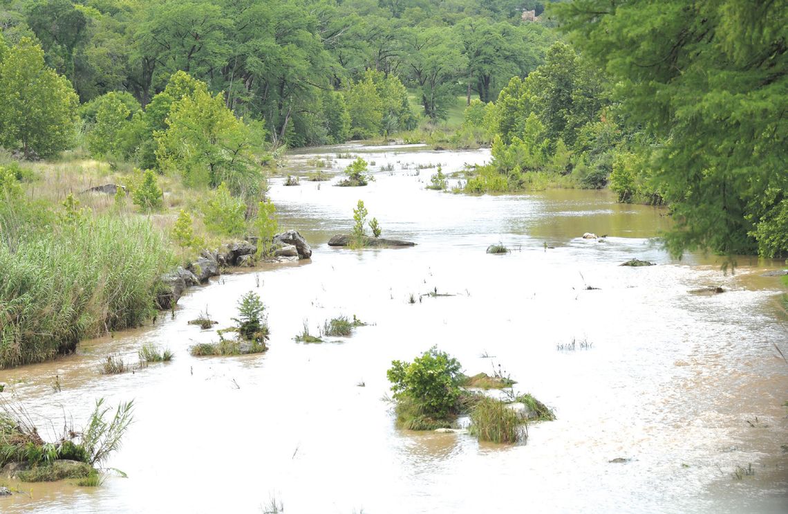
Just after 1 a.m. last Thursday, the National Weather Service for Austin-San Antonio issued a tornado warning for our area, and less than 30 minutes later, at 1:30 a.m., the NWS issued a flash flood warning, active until 5 a.m.
Two tornadoes touched down briefly, one, according to NWS, seemed to have “formed just east of Purgatory Road, south of FM Road 32.
Jackie Gitman, who lives behind Senza Maeso Tasting Room at 1090 FM 32, about 4 and a half miles from where the twister made contact with the ground, said she didn’t see a tornado, but the lightning and high winds drove her and her pets into an inner room of her home.
“The lightning went on and on and I wasn’t sure what was going on. I didn’t know whether to run or stay put.”
Later in the day, a NWS survey team “. . . found damage that supported the existence of two separate, short-lived EF0 tornadoes.”
“Radar imagery showed a defined rotation associated with the first area of damage. This circulation quickly dissipated with another circulation developing further to the southeast where the second tornado formed.” The tornado ratings are as follows: EF0 — 65 to 85 miles per hour, EF1 — 86 to 110 mph, EF2 — 111 to 135 mph, EF3 — 136 to 165 mph, EF4 — 166 to 200 mph and EF5 — greater than 200 mph. The most significant damage was seen along Cielo Ranch Road, with tree damage and minor damage to structures.”
Another tornado, in the San Marcos area, was estimated by the NWS “through information gathered by the survey team and through radar. While much of the damage fell to the north of northeast, indications are that the tornado moved just north of the intersection of Teton Circle and Appalachian Road.”
Heavy rainfall in the area brought the accumulation of up to 1.5 to 3.5 inches; some readers reported as much as 5 inches.
At 7 a.m. Thursday morning, the City of Wimberley alerted residents that low water crossings were closed until further notice.
According to NWS meteorologist, Erick Platt, “In the previous 24 hours, [from Wednesday to Thursday], the south side of the Hill Country received 1.5 to 2 inches of rain. The north - northwest side received as much as 3.5 inches. The slow moving storms over the area were the result of an upper level low pressure system, the remnants of a northern front and a great deal of moisture in the area from the gulf coast.”
By 4 p.m. Friday, the city announced that the low water crossings had reopened.
The Wimberley View’s weather reporter, Raymond Schifflet, said that it is not unusual to have springtime flooding. “Our wet months are always May, June or October so if there’s going to be flooding in the Wimberley area, the odds are better that we’ll have flooding during those months. Tornadoes are always rare in this part of Texas, but when they do occur, it is usually in the late Spring or early summer.”


